15 Aug Les Contamines to Landry – D9 & D10
Les Contamines to Refuge du Plan de la Lai – D9
Twenty-one kilometres and a mountain separates heaven from hell.
The hotel Gai Soleil (the third Gai Soleil we’ve stayed in) in Les Contamines is excellent in every way. Definitely at the upper end of the scale. Very friendly owners, unusually good food, rooms and amenities. Each floor has its own WiFi. Main Street is a two minute walk. It’s popular with TMBers.
By contrast the Refuge du Plan de la Lai (about 10kms east of Beaufort on the D925) is the exact opposite. If you are ever contemplating doing the GR5 or any activity in this area, approach with caution. At the lower end of the refuge scale it has: no mobile reception, no WiFi, no electricity. It’s remote so the lack of mobile network is understandable. The WiFi had gone down. But no electricity, as in you can’t charge anything up (or rather they won’t let you have access a power outlet)! What are you paying for? Sardine sleeping, a shower that dribbles and basic fare. The food, though, was acceptable, in a Royston Vasey sort of way.
The basic safety wasn’t. Having looked at over 50 hotels in Russia for Fox Sports I’ve developed a nose for essential health and safety. This refuge seemed to have no smoke detectors. The door of our dormitory opened inwards. In a rush none of us would have got out. Had we managed that by some miracle, the corridor beyond was entirely dark with no automatic lighting. There was no secondary fire escape.

But, the hike over the hill was great. Quite challenging in many ways. Because it’s part of the Tour de Mont Blanc (TMB) we were on the same route up to the Col du Bonhomme as the other TMB hikers. These varied from extended families and their donkeys to ultra marathon runners and all manner of hiker in between from all over the world.

What surprised us was how many were sending their luggage forward to the next hotel or B&B and hiking the route with a small day sack or nothing at all. One Danish couple went minimalist – she carried a bottle of water and he carried the guide book. That’s it.

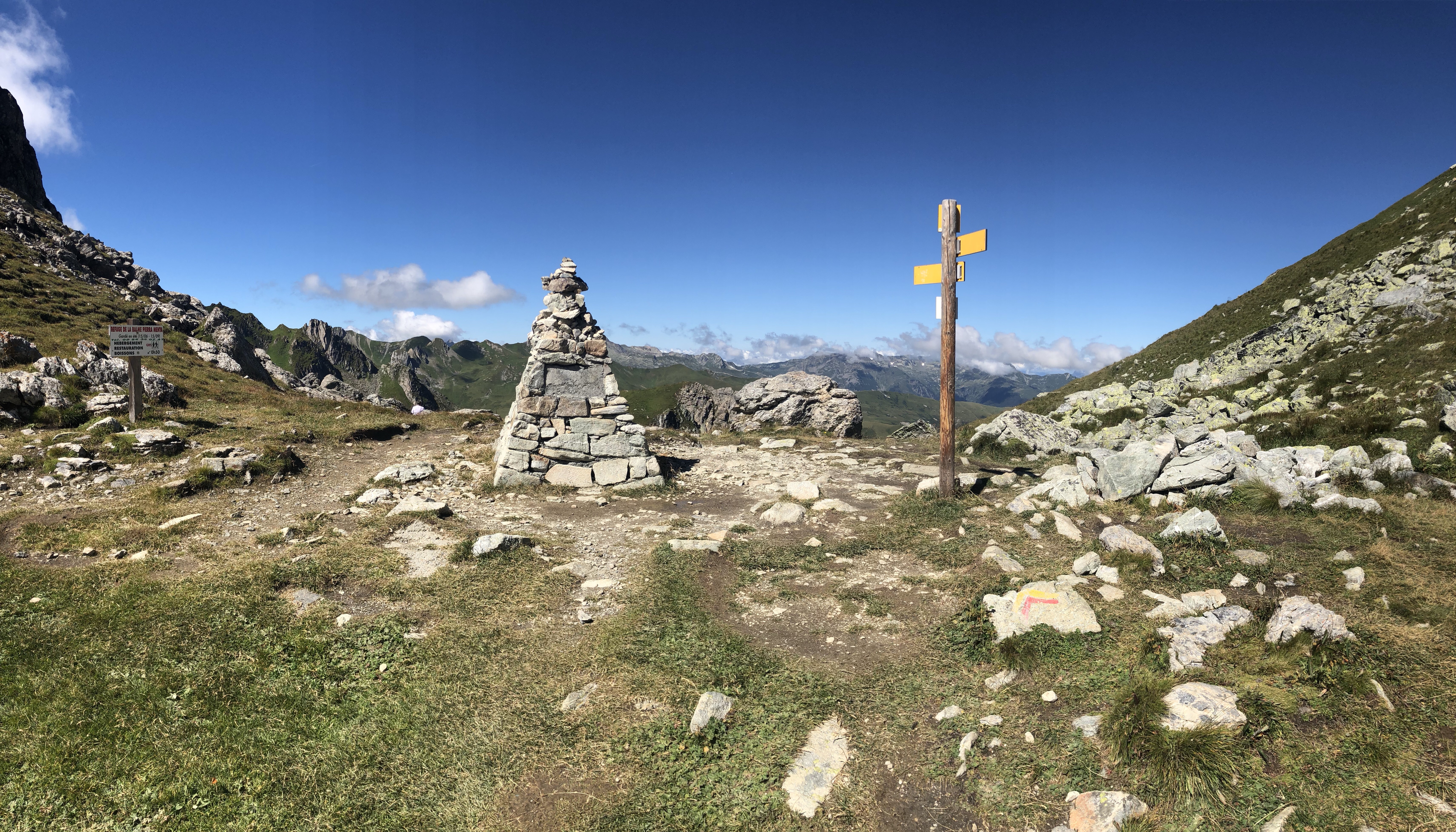
The other thing that we’ve notice over the past week or so has been the lack of maps and compasses in peoples’ hands. We’re using a combination of electronic mapping (the Gaia GPS app, which has performed really well) backed up with a traditional map. But, we’re always checking our position every 200m-300m. The GR5 is reasonably well signed, but not to such an extent that you can afford to ditch nav aids. In some places it is downright confusing or even contradictory. Dillon’s mapping, taken from Hiking The GR5 by Cicerone, best describes today’s leg.


Richard and I dialled in a good steady uphill pace reaching the Col du Bonhomme in 3h 17m as opposed to the recommended time of 4h 40m. We didn’t intend to break any records, but steady pace and no stopping eats up the distance. The trail, winding up a steep valley, was dotted with scores of brightly coloured back packs – all of them targets to be picked off in our relentless march to the top. No sooner had we overtaken one group than we’d spot another half a mile ahead and steadily we’d reel them in and pass them. In that way we used others to pull us up the mountain.
Some were interesting. We came across a young woman from Beijing who needed to be pointed in the right direction. She and a fried had flow in from China a few days previously and had began the TMB in Les Houches the previous day. The friend had given up at Les Contamines leaving her companion to soldier on, which she was doing with good humour.

Low clouds blew through the Col and never really lifted throughout the day. Definitely not a day for sunscreen. More one for another windproof layre. Forty minutes beyond the col and with more climbing we reached the Refuge de la Croix du Bonhomme – a fly-filled refuge with great views but dubious sanitation. For some reason it was infested with flies.

After a bowl of vegetable soup and cheese we pushed on. The remainder of the route took us along the spine of a razor’s edge feature called Crete des Gittes, which had been formed where two glaciers had pushed material up into a long narrow spine falling away either side for thousands of feet – very dramatic and quite bleak in this monochrome landscape.
As we hiked along the top we encountered a French lady who had done the GR5 to Menton twenty years previously and was now taking a trip down memory lane.


The Cretes des Gittes led us to the Col de la Sauce from where it was downhill all the way to this isolated and somewhat basic refuge. The heavens eventually opened up to such an extent that for the first time this trip we dived into our packs and donned waterproof jackets – more Sennybridge than Alps if you know what I mean.
And so, here we are not bothering with showers that don’t work and rather looking forward to getting out of here on a 27km leg that Dillon describes as the muddiest and most boulder-strewn of the whole route. How joyous!

But before we escape, I have to tell you about a rather bizarre yet friendly Australian from Brisbane who popped into the refuge for food. I’ve already mentioned that this place is odd in a kind of Royston Vasey sort of way. The stew was meat alright, but you couldn’t quite be sure what kind.
Anyway, the Aussie (strange thing, but you never really learn peoples’ names en route) was hiking the GR5 in reverse from Nice to Lake Leman. He’d arrived in Nice having completed the GR4. He seemed to spend most of his life hiking these mega routes entirely on his own and claimed a) to have got his gear down to 8.5kgs (admirable) and b) to cover up to 50kms a day if the going was good (unbelievable, particularly if you read the entry below for 15 August).
But, it seemed to Richard and me that most people doing the GR5 in total were free camping, i.e. not tied in place and time to any pre-arranged commitment. I felt and still do feel a little envious of their freedom and flexibility. By contrast, because we are committed to meeting various other hikers down range on very specific days and because all of our accommodation has been pre-booked, we are locked into a hellish and relentless timetable with almost no flexibility built in, save a rest day in Les Houches (now been and gone), one in Val d’Isere on 18th August and two in Brionçon (26 and 27 August) at the end of Hell Week. Come hell or high water, rain or shine, we have to hit each day’s objectives like clockwork. March or die type thing.
This is like being back in the army. Not part of the plan at all.
Refuge du Plan de la Lai – Landry D10
Someone tut-tutted and summoned Richard back into the communal bathroom, ‘Monsieur!’ All because he hadn’t jammed the tap shut with all his might. A drop had fallen from it. And this was a fellow hiker! We had to get out of this place.

By half past seven we were gone, tabbing off south away from the refuge and its oddness. In contrast to the previous two days the sky was a flawless azure blue – the promise of a hot day. Fortunately, for the first few hours we hiked in the solar lee of a high escarpment called Le Grande Berge and barely worked up a sweat. The mud Dillon refers to for this section of the GR5 was nothing Paschendsle-like. But, as the day wore on the boulder-strewn tracks he talks about proved to be a major impediment to fastish movement and quite ankle-jarring, requiring 100% concentration to avoid a twisted ankle.

We saw far fewer hikers in this empty landscape. For the previous two days we’d mingled with the TMB hikers until separation at the Col du Bonhomme above Les Contemines. Now we had this magnificent landscape almost to ourselves. Here’s the route from Dillon’s Hiking The GR5 by Cicerone:


What caught us by complete surprise was the climb to the Col du Bresson from the west. It’s not the highest ascent we’ve done but it turned into a real grind because of its steepness and because of the nature of the broken ground. The sun also played a factor. What’s rewarding about getting to the top of a col is that you never know where the top is. You simply keep up a certain pace, grinding on up and looking at where to step next. And then quite unexpectedly you are there, usually blasted by blissfully cool air accelerating over the col.


And then the agonising descent begins. Going uphill is not painful. It just requires effort. Going downhill requires little in the way of horsepower but reaches levels of boot pain that are hard to describe. The severity of this is determined by the unevenness of the ground, the gradient and the heat in your boot, not to mention all those pesky little stones that somehow find their way in. Today our approach to and ascent of the Col de Bresson took about four hours. Our descent of about 1800m from it took five hours in baking heat over uneven surfaces. We passed through beautiful hamlets like Valezan without registering much more than the discomfort of its steep alleys. By the time we tabbed into Landry late in the afternoon we were pretty fried. The 27km distance given by Dillon turned out to be 29km.

So, the real question that this poses is how would you plan your own GR5? Would you opt for control, certainty and an inflexible schedule? Or would you go in the totally opposite direction: take more time, take a small tent, mix tenting with some accommodation (the Australian we met had no trouble finding a bed for the night if he wanted one)? Or would you book a little in advance (as Dillon suggests) have the option to camp wild if it takes you but know that if you need refuge it’s usually there? Not a single refuge we’ve stayed in or hotel has had more than 50% occupancy. Turning up on spec is still a viable option, even in high season.

Richard and I discussed this today. If we were to do this again we’d take a little more time and go for the last option. As we flash across this magnificent landscape head down and arse up, determined to meet our objectives, we’re aware that in part we’re missing the essence of something like the GR5. It’s a journey and a pilgrimage. Not a project.


As it is, we are locked into a tight schedule and have to hit each place as planned. But, if anything were to happen beyond our control, like the flooding and land slips that hit the southern part of France and disrupted traffic on the GR5, our carefully booked schedule would unravel very quickly indeed. At which point I’d head to the nearest camping shop, buy a small tent and go wild.
Stay tuned!
Tuesday’s vital statistics: https://connect.garmin.com/modern/activity/2934906940
Wednesday’s vital statistics: https://connect.garmin.com/modern/activity/2934916181